Web Layers
Web Layers are background basemap images that can be displayed underneath your data. You must have internet access to display this data.
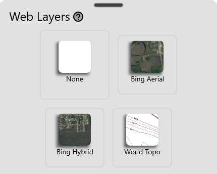
- None - Clears any basemaps on the map.
- Google Aerial - A satellite image provide by Google. These image acquisition dates may vary, but are typically within the last five years.
- Google Hybrid - Similar to Google Aerial, but also displays textual information of places and roads.
- World Topo - Rough topographic data showing contours. Provided by ESRI.